From field to map: Supporting sustainability systems with new geospatial resources
Geolocation data underpins the ability of sustainability systems and their partners to track activities, assess environmental risks, and measure impact. ISEAL has updated its guidance on mapping certified activities and commissioned new research on how spatial datasets can be used to monitor change and impact. By collecting and analysing spatial data, members and their partners are better equipped to meet external demands and plan for the future.
Sustainability systems are evolving to meet rising expectations for transparency, traceability, and climate resilience. Amidst this, geospatial data is emerging as a critical foundation: it helps detect supply chain risks such as deforestation, make strategic decisions based on geographical evidence, and communicate their impact visually through mapping projects and interventions.
Two new ISEAL resources offer practical guidance for organisations seeking to strengthen their geospatial capabilities and make informed decisions about spatial data use.
Why geospatial data matters
Sustainability efforts are grounded in physical places: farms, forests, fisheries, factories and production sites. Collecting data about these locations helps make sense of what is happening on the ground.
Having this understanding is increasingly important as new regulations like the EU Deforestation Regulation require location-based evidence of compliance, expectations grow around impact communication, and climate change is creating new risks to monitor.
At the same time, geospatial technology has evolved. Advances in satellite imagery, remote sensing technology, and spatial analytics offer new ways of collecting and interpreting location data with added precision and accuracy.
Many ISEAL members are already making use of spatial data to strengthen their assurance systems and communicate their impacts. Explore this interactive article to discover how the Roundtable on Sustainable Palm Oil (RSPO), Forest Stewardship Council (FSC), Fairtrade International and Rainforest Alliance showcase the value of geospatial data.
How systems can collect boundary data
We have updated our guidance on collecting polygon data, a foundational document aiming to help organisations collect better boundary data for certified sites.
Whether you're just starting or refining your approach, the guidance outlines three practical methods: using existing mapped boundaries, tracing boundaries from satellite imagery, and recording boundaries on-site with GPS devices.
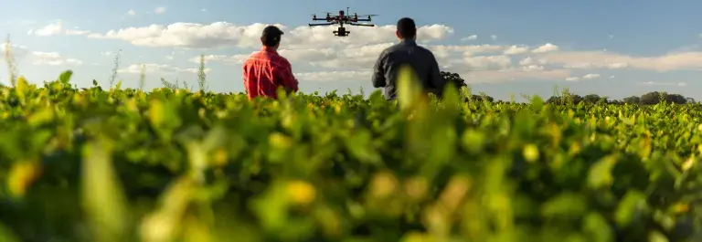
The resource reflects the latest advances in technology, including remote sensing, drones, and AI tools, making it easier than ever to collect accurate data and improve assurance processes.
How to choose the right spatial datasets
With the proliferation of spatial datasets, from platforms like Global Forest Watch and Copernicus to commercial providers, selecting the right data for analysing risks or impacts can be challenging. Working with the ISEAL members’ geospatial working group, we commissioned new research by Spatial Informatics Group to provide a structured approach to choosing the right spatial datasets for their needs.
The result is an assessment criteria framework for spatial datasets, supporting uses like deforestation monitoring, land cover change detection for EUDR compliance, and climate vulnerability assessments.
These new resources are part of ISEAL’s effort to support data-driven sustainability and help systems adapt to evolving expectations. We believe that geospatial data is a powerful tool to strengthen the effectiveness of sustainability systems.
By making use of geospatial data, sustainability systems can enhance their credibility, improve risk management, and support long-term impact.
This work was funded by the Walmart Foundation.
